🚚 Free Worldwide Shipping on All Orders!Shop Now
1 / 4
Map of London
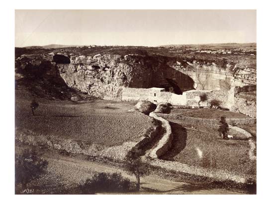
An unusual survival of this iconic map in its original uncoloured segments. We locate only three copies in UK institutions in a such a state (BL, Oxford, Edinburgh).
This map was the first to be published on such a large scale, its remarkable accuracy is comparable to modern large scale maps. It was adapted from parts of the earlier Ordnance Survey maps but contained more features. Interesting details include the marked yellow roads in the parks which denote the King's private property and which were reserved for ticket holders generously permitted entry by the monarch. London is still shown as 'clinging to the Thames', its lifeline, no part of the built-up area being further than a mile or two from the river, however over the next sixty years the scene was to change dramatically.
Shows Regent's Park Zoo (1826), St Katherine's Dock (1828), and the new General Post Office in St Martin le Grand (1829). The Canal in St James's Park has been replaced by a lake, and buildings are being removed for the building of Trafalgar Square. Both New and Old London Bridges are shown.
First edition; uncoloured in folio (66 x 37 cm), in original 6 double-paged engraved paper sections on tabs, extending from Kentish Town in the North, to Battersea in the South, from Kensington in the West to the River Lea in the East, engraved views of St Paul's and Westminster Abbey at lower corners, engraved dedication to King George the Fourth with Royal Arms; later half calf, marbled boards, spine lettered in gilt in seven compartments, fine uncoloured copy.
BLMC (Shelf Maps), 15.b.17; Glanville, p.166; Howgego (London Maps), 309 (1).
$83,787,421.16
Original: $279,291,403.87
-70%Map of London—
$279,291,403.87
$83,787,421.16Product Information
Product Information
Shipping & Returns
Shipping & Returns
Description
An unusual survival of this iconic map in its original uncoloured segments. We locate only three copies in UK institutions in a such a state (BL, Oxford, Edinburgh).
This map was the first to be published on such a large scale, its remarkable accuracy is comparable to modern large scale maps. It was adapted from parts of the earlier Ordnance Survey maps but contained more features. Interesting details include the marked yellow roads in the parks which denote the King's private property and which were reserved for ticket holders generously permitted entry by the monarch. London is still shown as 'clinging to the Thames', its lifeline, no part of the built-up area being further than a mile or two from the river, however over the next sixty years the scene was to change dramatically.
Shows Regent's Park Zoo (1826), St Katherine's Dock (1828), and the new General Post Office in St Martin le Grand (1829). The Canal in St James's Park has been replaced by a lake, and buildings are being removed for the building of Trafalgar Square. Both New and Old London Bridges are shown.
First edition; uncoloured in folio (66 x 37 cm), in original 6 double-paged engraved paper sections on tabs, extending from Kentish Town in the North, to Battersea in the South, from Kensington in the West to the River Lea in the East, engraved views of St Paul's and Westminster Abbey at lower corners, engraved dedication to King George the Fourth with Royal Arms; later half calf, marbled boards, spine lettered in gilt in seven compartments, fine uncoloured copy.
BLMC (Shelf Maps), 15.b.17; Glanville, p.166; Howgego (London Maps), 309 (1).
This map was the first to be published on such a large scale, its remarkable accuracy is comparable to modern large scale maps. It was adapted from parts of the earlier Ordnance Survey maps but contained more features. Interesting details include the marked yellow roads in the parks which denote the King's private property and which were reserved for ticket holders generously permitted entry by the monarch. London is still shown as 'clinging to the Thames', its lifeline, no part of the built-up area being further than a mile or two from the river, however over the next sixty years the scene was to change dramatically.
Shows Regent's Park Zoo (1826), St Katherine's Dock (1828), and the new General Post Office in St Martin le Grand (1829). The Canal in St James's Park has been replaced by a lake, and buildings are being removed for the building of Trafalgar Square. Both New and Old London Bridges are shown.
First edition; uncoloured in folio (66 x 37 cm), in original 6 double-paged engraved paper sections on tabs, extending from Kentish Town in the North, to Battersea in the South, from Kensington in the West to the River Lea in the East, engraved views of St Paul's and Westminster Abbey at lower corners, engraved dedication to King George the Fourth with Royal Arms; later half calf, marbled boards, spine lettered in gilt in seven compartments, fine uncoloured copy.
BLMC (Shelf Maps), 15.b.17; Glanville, p.166; Howgego (London Maps), 309 (1).