🚚 Free Worldwide Shipping on All Orders!Shop Now
London: A Cartographic History. 1746-1950
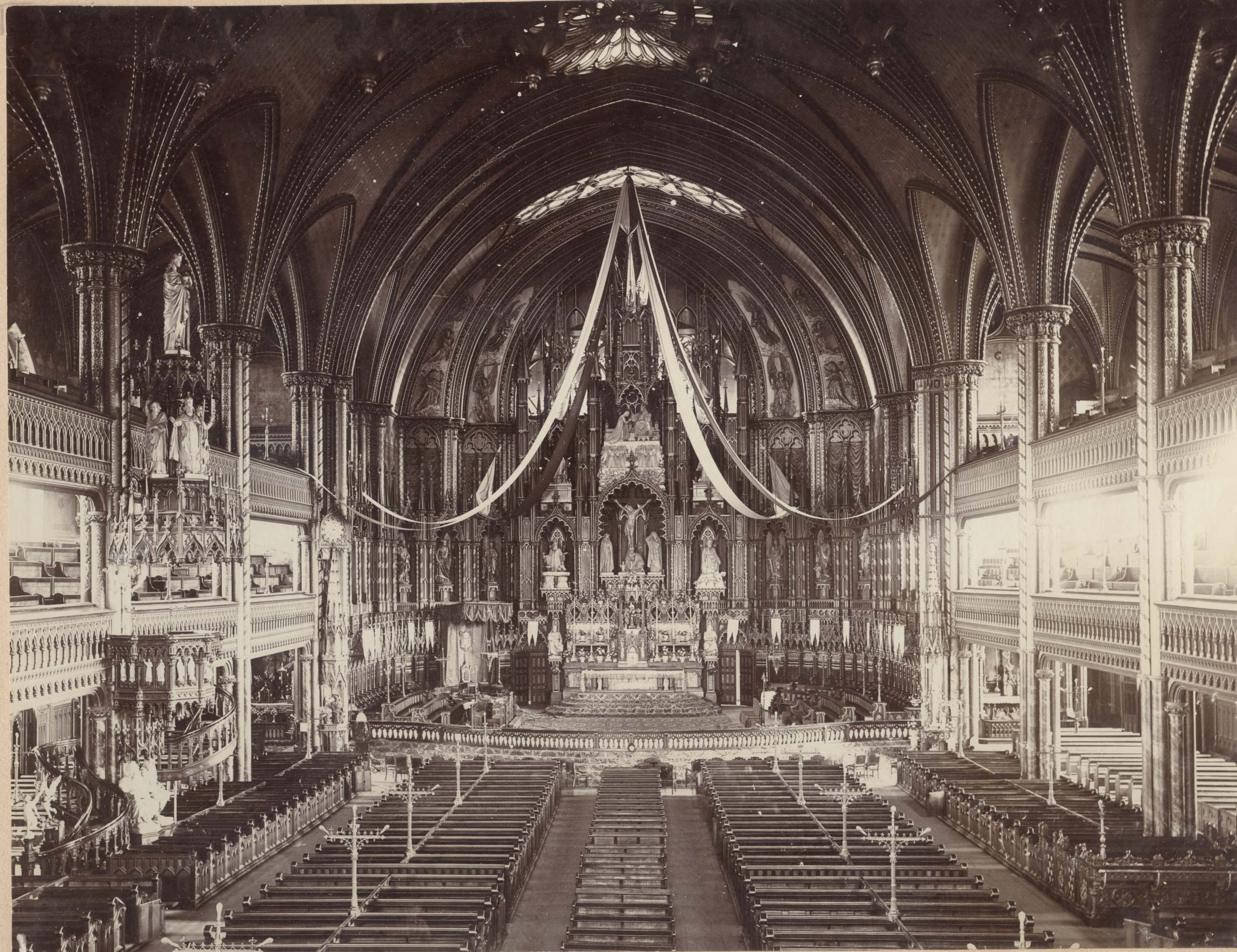
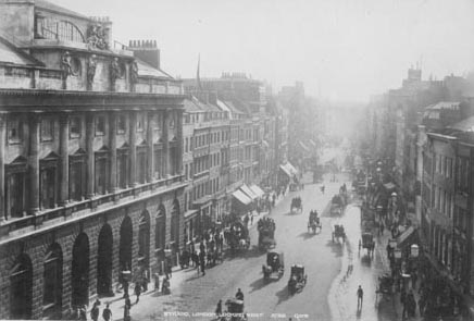
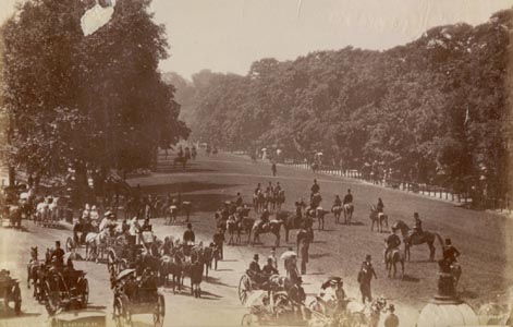
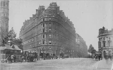
Drawn together from an exceptional collection of folding maps, this bibliographical catalogue literally charts social, historical and political development of London from its days as a burgeoning, almost pastoral city in the 1740's to being one of the busiest metropolises in the world.
Designed for practical use, folding maps first emerged towards the end of the eighteenth century due to the efforts of one man, John Rocque, a French surveyor who dedicated 9 years of his life to developing a large-scale survey of the densely populated area of the capital.
From this first map the collection traces the history of London through its cartography, from the Richard Horwood map of 1792, showing every road, square, alley, courtyard and house (considered to be the largest and most important map of London in the 18th Century) to a very early map of the underground in 1922 and the development of the now indispensable A-Z.
First edition. 4to, (320 x 230 mm), xi, 161pp, 100 colour illustrations, black cloth, red printed dust-jacket. NEW.
$30.55
Original: $101.85
-70%London: A Cartographic History. 1746-1950—
$101.85
$30.55Product Information
Product Information
Shipping & Returns
Shipping & Returns
Description
Drawn together from an exceptional collection of folding maps, this bibliographical catalogue literally charts social, historical and political development of London from its days as a burgeoning, almost pastoral city in the 1740's to being one of the busiest metropolises in the world.
Designed for practical use, folding maps first emerged towards the end of the eighteenth century due to the efforts of one man, John Rocque, a French surveyor who dedicated 9 years of his life to developing a large-scale survey of the densely populated area of the capital.
From this first map the collection traces the history of London through its cartography, from the Richard Horwood map of 1792, showing every road, square, alley, courtyard and house (considered to be the largest and most important map of London in the 18th Century) to a very early map of the underground in 1922 and the development of the now indispensable A-Z.
First edition. 4to, (320 x 230 mm), xi, 161pp, 100 colour illustrations, black cloth, red printed dust-jacket. NEW.
Designed for practical use, folding maps first emerged towards the end of the eighteenth century due to the efforts of one man, John Rocque, a French surveyor who dedicated 9 years of his life to developing a large-scale survey of the densely populated area of the capital.
From this first map the collection traces the history of London through its cartography, from the Richard Horwood map of 1792, showing every road, square, alley, courtyard and house (considered to be the largest and most important map of London in the 18th Century) to a very early map of the underground in 1922 and the development of the now indispensable A-Z.
First edition. 4to, (320 x 230 mm), xi, 161pp, 100 colour illustrations, black cloth, red printed dust-jacket. NEW.