🚚 Free Worldwide Shipping on All Orders!Shop Now
Tabula Russiae
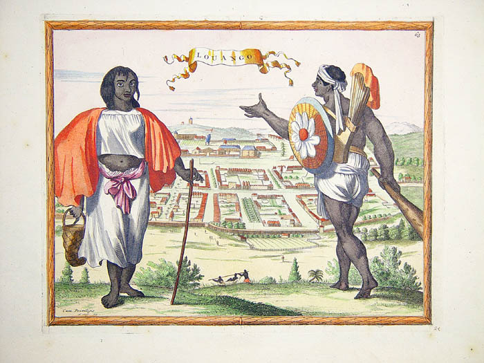
A very good example, with wide margins, of Hessel Gerritsz's map of Russia, first issued 1613 and published by Blaeu after he acquired the plate following Gerritsz's death in 1632. The top left corner has an inset plan of Moscow with a 17-point key, which in 1662 Blaeu expanded and published as a separate plate; on the right is a prospect of Archangel, Russia's only northern port until the founding of St Petersburg in 1700. Three figures in Russian dress stand above. The title is within a martial cartouche. Extending west to east from Emden to Aspachan and north to south from Langenos to Trapesus.
Double page engraved map, hand-coloured in outline, French text on verso; a few brown spots, some short tears to margins. 546 mm by 647 mm
Double page engraved map, hand-coloured in outline, French text on verso; a few brown spots, some short tears to margins. 546 mm by 647 mm
$5,689.92
Tabula Russiae—
$5,689.92
Product Information
Product Information
Shipping & Returns
Shipping & Returns
Description
A very good example, with wide margins, of Hessel Gerritsz's map of Russia, first issued 1613 and published by Blaeu after he acquired the plate following Gerritsz's death in 1632. The top left corner has an inset plan of Moscow with a 17-point key, which in 1662 Blaeu expanded and published as a separate plate; on the right is a prospect of Archangel, Russia's only northern port until the founding of St Petersburg in 1700. Three figures in Russian dress stand above. The title is within a martial cartouche. Extending west to east from Emden to Aspachan and north to south from Langenos to Trapesus.
Double page engraved map, hand-coloured in outline, French text on verso; a few brown spots, some short tears to margins. 546 mm by 647 mm
Double page engraved map, hand-coloured in outline, French text on verso; a few brown spots, some short tears to margins. 546 mm by 647 mm