🚚 Free Worldwide Shipping on All Orders!Shop Now
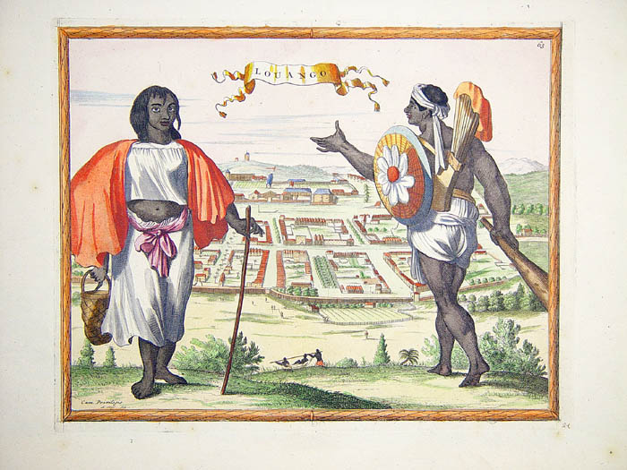
Antwerp.
Plan of Antwerp and its environs, including three panoramic city views of Antwerp and ten vignette views of the city's remarkable buildings. Engraved by Claes Jansz Visscher and published by his son Nicolas in the "Atlas Minor Sive Geographia Compendiosa".
The images of the city's grand church facades and port gates, and panoramic view of its busy harbour, evoke Antwerp's splendour and merchantile dominance, whilst the main plan illustrates the city's rich agricultural surroundings. The plan also includes two tables of historical explanations and a single coat of arms, representing the city of Antwerp and the Holy Roman Empire. Inset is a plan of the southern region of Brabant including a view of the Scheldt river.
Double-page engraved plan (46 x 55.5cm). Framed dimensions: 60 x 71cm. Slightly foxed but otherwise an very fine impression.
Campbell 8 u. Taf. IV; Hollstein XXXVIII, 127 mit Abb.; BSB, Kunstwerk 100 u. Abb. 56.
$5,057.41
Antwerp.—
$5,057.41
Product Information
Product Information
Shipping & Returns
Shipping & Returns
Description
Plan of Antwerp and its environs, including three panoramic city views of Antwerp and ten vignette views of the city's remarkable buildings. Engraved by Claes Jansz Visscher and published by his son Nicolas in the "Atlas Minor Sive Geographia Compendiosa".
The images of the city's grand church facades and port gates, and panoramic view of its busy harbour, evoke Antwerp's splendour and merchantile dominance, whilst the main plan illustrates the city's rich agricultural surroundings. The plan also includes two tables of historical explanations and a single coat of arms, representing the city of Antwerp and the Holy Roman Empire. Inset is a plan of the southern region of Brabant including a view of the Scheldt river.
Double-page engraved plan (46 x 55.5cm). Framed dimensions: 60 x 71cm. Slightly foxed but otherwise an very fine impression.
Campbell 8 u. Taf. IV; Hollstein XXXVIII, 127 mit Abb.; BSB, Kunstwerk 100 u. Abb. 56.
The images of the city's grand church facades and port gates, and panoramic view of its busy harbour, evoke Antwerp's splendour and merchantile dominance, whilst the main plan illustrates the city's rich agricultural surroundings. The plan also includes two tables of historical explanations and a single coat of arms, representing the city of Antwerp and the Holy Roman Empire. Inset is a plan of the southern region of Brabant including a view of the Scheldt river.
Double-page engraved plan (46 x 55.5cm). Framed dimensions: 60 x 71cm. Slightly foxed but otherwise an very fine impression.
Campbell 8 u. Taf. IV; Hollstein XXXVIII, 127 mit Abb.; BSB, Kunstwerk 100 u. Abb. 56.