🚚 Free Worldwide Shipping on All Orders!Shop Now
1 / 3
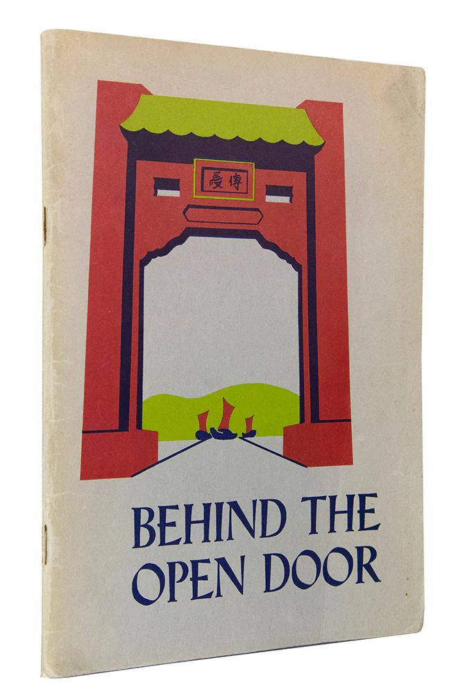
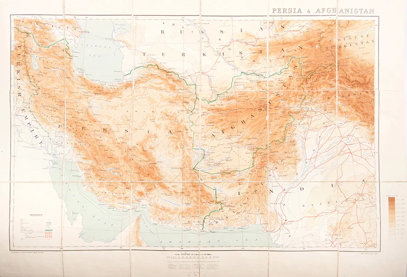
Persia and Afghanistan.
A wonderful map of Central Asia showing Persia and Afghanistan at the denouement of the Great Game. This map was published just 8 months before the departure of the Younghusband expedition in December 1903 and shows the Trans-Caspian Railway along the border of Russia through Samarkand and Bokhara to Baku. The Anglo-Russian Entente would be signed in 1907 effectively ending the Great Game and securing Russia's advancement up to the Iranian and Afghani borders.
Lithographed folding map printed in colours, 88.5 x 59.5 cm. dissected into 18 sheets mounted on linen, scale 1 inch to 64 miles, original brown cloth lettered in gilt, a very good copy.
Lithographed folding map printed in colours, 88.5 x 59.5 cm. dissected into 18 sheets mounted on linen, scale 1 inch to 64 miles, original brown cloth lettered in gilt, a very good copy.
$301.51
Original: $1,005.05
-70%Persia and Afghanistan.—
$1,005.05
$301.51Product Information
Product Information
Shipping & Returns
Shipping & Returns
Description
A wonderful map of Central Asia showing Persia and Afghanistan at the denouement of the Great Game. This map was published just 8 months before the departure of the Younghusband expedition in December 1903 and shows the Trans-Caspian Railway along the border of Russia through Samarkand and Bokhara to Baku. The Anglo-Russian Entente would be signed in 1907 effectively ending the Great Game and securing Russia's advancement up to the Iranian and Afghani borders.
Lithographed folding map printed in colours, 88.5 x 59.5 cm. dissected into 18 sheets mounted on linen, scale 1 inch to 64 miles, original brown cloth lettered in gilt, a very good copy.
Lithographed folding map printed in colours, 88.5 x 59.5 cm. dissected into 18 sheets mounted on linen, scale 1 inch to 64 miles, original brown cloth lettered in gilt, a very good copy.